
OsmAnd is a Dutch alternative to Google Maps and Strava for everyday use.
Last updated
- Headquarters
- Netherlands
- Open source
- Yes
- Free plan
- Yes
Offline OpenStreetMap navigation with multi-profile routing, track recording, and terrain maps, open source and private with no tracking.
Open-source offline navigation built on OpenStreetMap, with multi-profile routing, track recording and terrain maps for hikers, cyclists, drivers and sailors.
OsmAnd is a Dutch open source maps and navigation app built on OpenStreetMap, designed to work fully offline once maps are downloaded. It is the power-user's choice: dense with features for hikers, cyclists, drivers, and sailors, with map rendering and routing you control down to fine detail rather than a locked-down consumer app.
Because everything runs from offline vector maps, navigation keeps working with no signal and no data leaving the device, which is why the privacy and outdoors communities favor it. Turn-by-turn guidance covers car, bike, and foot, and plugins add contour lines, ski maps, nautical charts, GPX track recording, and trip planning.
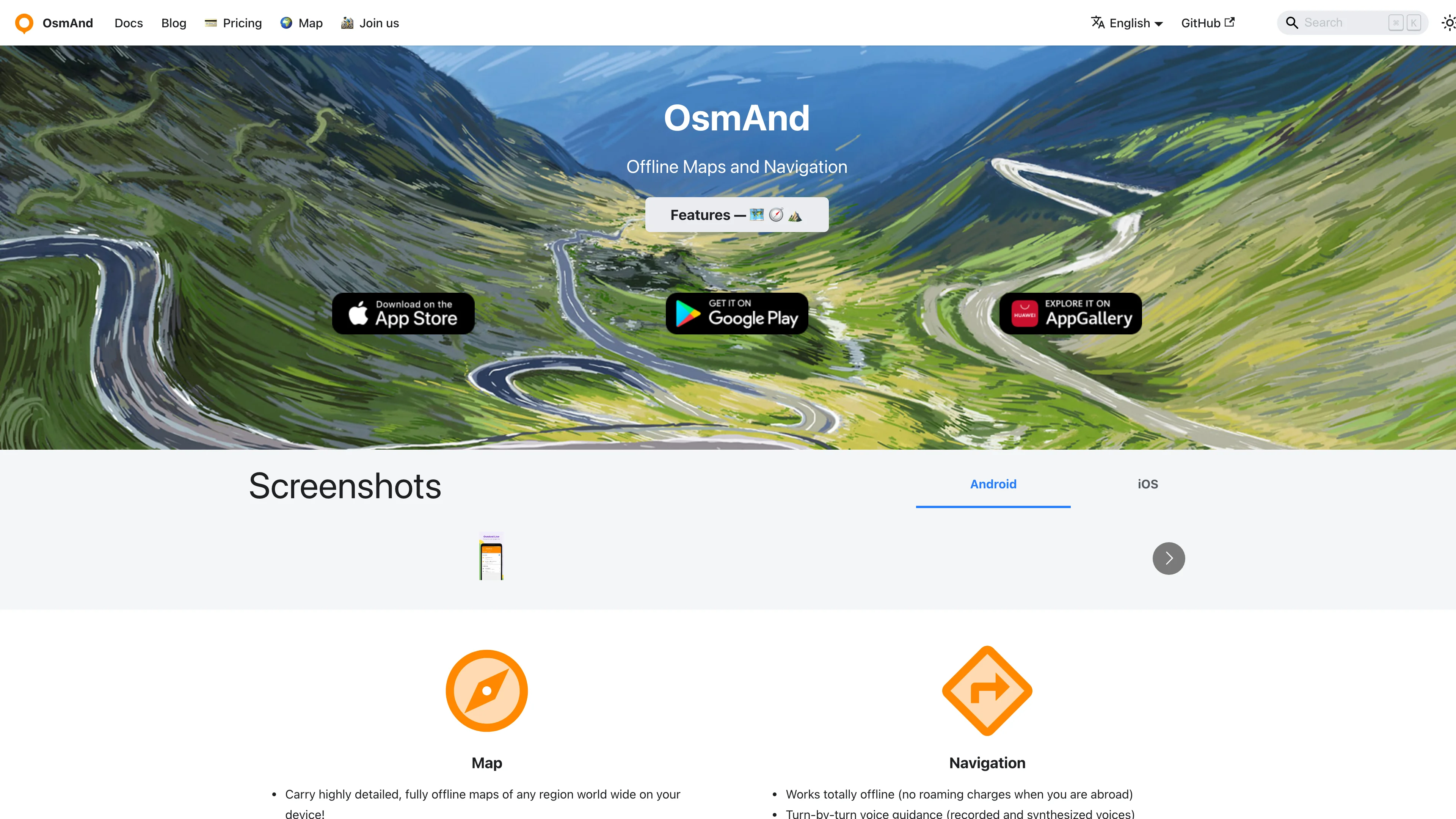
Key features:
- Offline OpenStreetMap navigation with no connection required
- Multi-profile routing for car, bicycle, walking, and more
- Track recording and GPX import and export for the outdoors
- Contour lines and terrain via optional map plugins
- Frequent offline map updates included on the free tier
- Open source under GPL, auditable and free to use
- No tracking, with map data staying on your device
OsmAnd is developed by OsmAnd B.V. in the Netherlands, with a free version covering everyday use and OsmAnd Pro unlocking cloud backup and unlimited map downloads. The open source foundation means your navigation never depends on a US cloud.
Ideal for hikers, cyclists, and privacy-minded drivers replacing Waze or Google Maps with an offline, open source tool.
Categories
European alternative to
Head-to-head comparisons
See how OsmAnd stacks up side-by-side against the non-EU incumbent on jurisdiction, GDPR, pricing, and features.
Similar European alternatives

Mullvad Browser
Experience enhanced online privacy with a browser designed to minimize tracking and fingerprinting. Developed with the Tor Project for robust protection.

Ohhi
Share photos and videos with an invited circle only: chronological timeline, shared albums with roles, no ads, no algorithm, EU servers.

Magic Earth
Privacy-first navigation with turn-by-turn voice guidance, live traffic, offline OpenStreetMap data, and community hazard reports, collecting no personal data.

Organic Maps
Fast detailed offline maps with GPS navigation for travelers, hikers, and cyclists. No ads, no tracking, completely free with 100% offline functionality.

Shopware
Build, scale, and customise your online store with an open-source commerce platform: headless-ready, B2B-capable, and trusted by 100,000+ merchants across Europe.

Qwant
Get fast, reliable answers with a search engine that doesn't store or sell your data. Hosted in Europe for enhanced privacy.