4 Best European Strava Alternatives in 2026
The best European alternative to Strava in 2026 is OsmAnd, based in the Netherlands. All 4 options below are European-owned, GDPR-native and ranked by feature parity and relevance.
By the EU Alternatives team Last updated
Our top pick this year is OsmAnd, but every option on this list is European-owned, GDPR-native, and production-ready. Worth a closer look: Runalyze, komoot, Mapy.com.
Strava alternatives are mainly Consumer Products. Browse that category for a wider shortlist beyond this list.
Top European Strava alternatives compared
| # | Alternative | Country | Open source | Free tier | Compare |
|---|---|---|---|---|---|
| 1 | OsmAnd | Netherlands | Yes | Yes | vs Strava → |
| 2 | Runalyze | Germany | No | Yes | vs Strava → |
| 3 | komoot | Germany | No | Yes | vs Strava → |
| 4 | Mapy.com | Czech Republic | No | Yes | vs Strava → |
-
Offline OpenStreetMap navigation with multi-profile routing, track recording, and terrain maps, open source and private with no tracking.
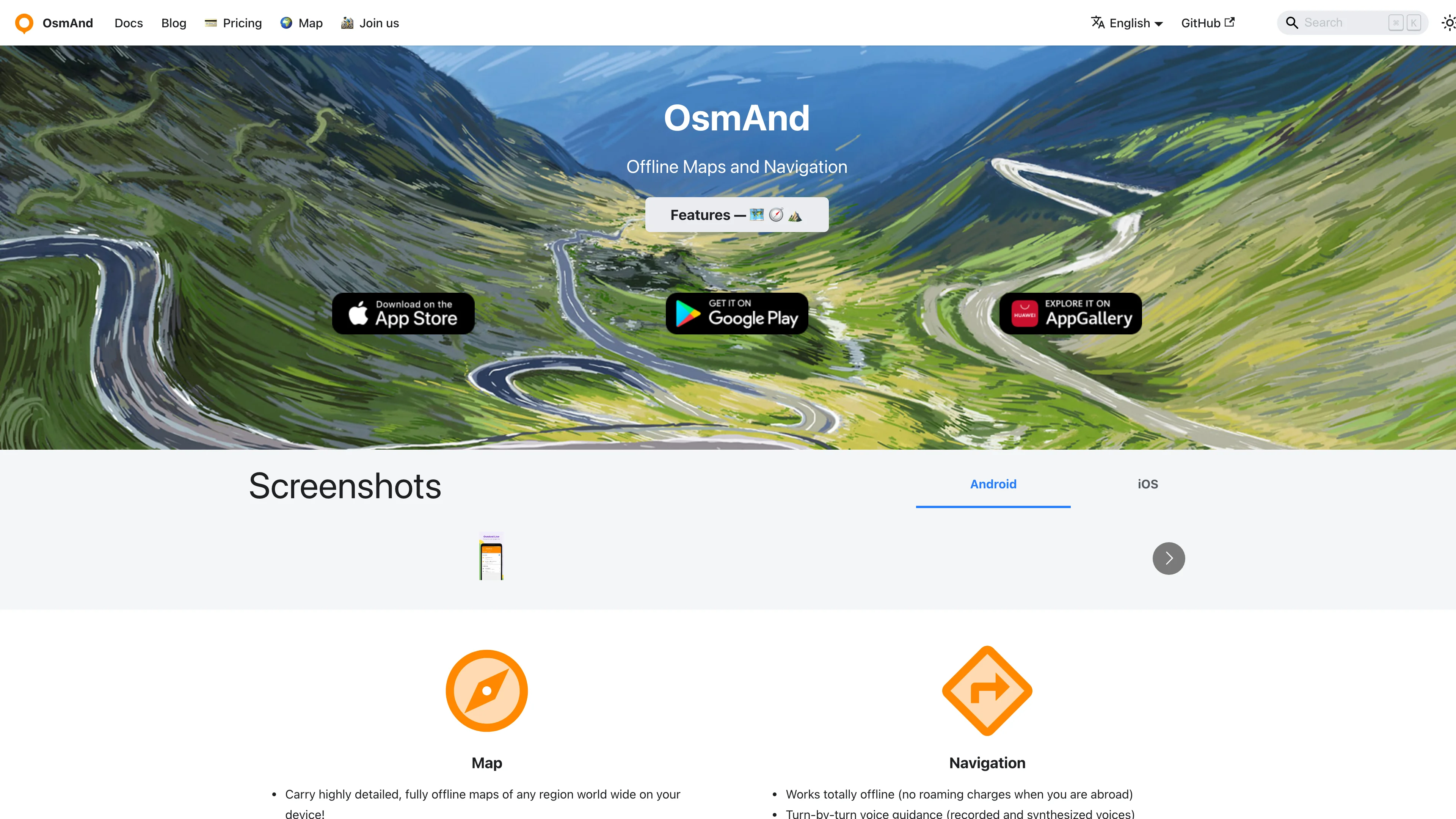
OsmAnd is a Dutch open source maps and navigation app built on OpenStreetMap, designed to work fully offline once maps are downloaded. It is the power-user's choice: dense with features for hikers, cyclists, drivers, and sailors, with map rendering and routing you control down to fine detail rather than a locked-down consumer app.
Because everything runs from offline vector maps, navigation keeps working with no signal and no data leaving the device, which is why the privacy and outdoors communities favor it. Turn-by-turn guidance covers car, bike, and foot, and plugins add contour lines, ski maps, nautical charts, GPX track recording, and trip planning.
Key features:
- Offline OpenStreetMap navigation with no connection required
- Multi-profile routing for car, bicycle, walking, and more
- Track recording and GPX import and export for the outdoors
- Contour lines and terrain via optional map plugins
- Frequent offline map updates included on the free tier
- Open source under GPL, auditable and free to use
- No tracking, with map data staying on your device
OsmAnd is developed by OsmAnd B.V. in the Netherlands, with a free version covering everyday use and OsmAnd Pro unlocking cloud backup and unlimited map downloads. The open source foundation means your navigation never depends on a US cloud.
Ideal for hikers, cyclists, and privacy-minded drivers replacing Waze or Google Maps with an offline, open source tool.
-
Deep training analysis for runners and triathletes with effective VO2max estimation, race-time prognosis, training load metrics, and Garmin import, free at its core.
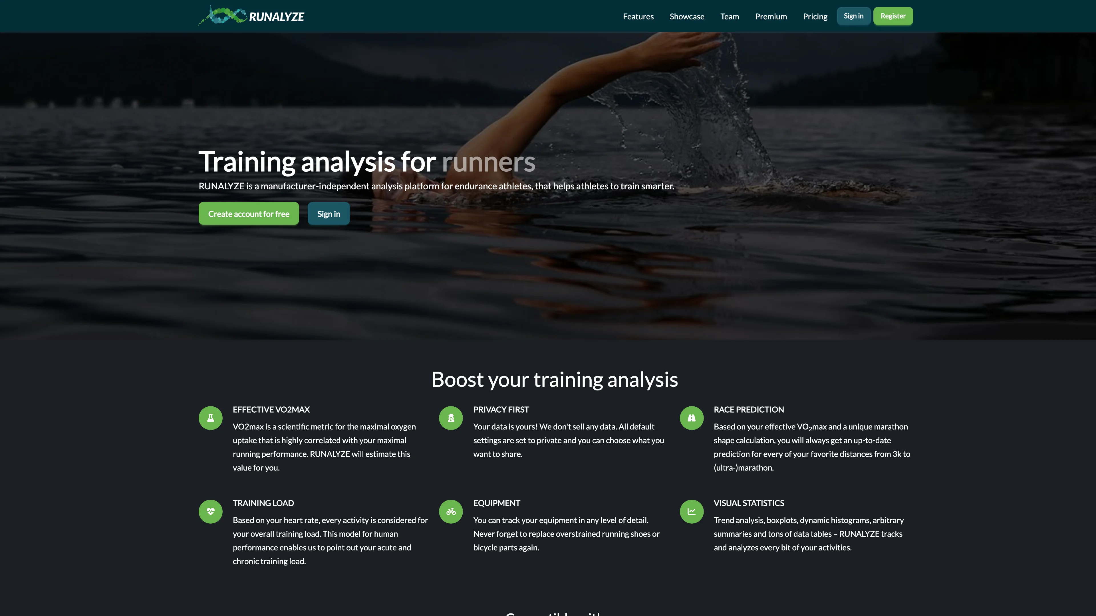
Runalyze is a German training analysis platform for runners and triathletes that goes deeper than Strava's feed ever will: effective VO2max estimation, marathon shape tracking, race-time prognosis, and TRIMP-based training load and fatigue metrics turn raw workouts into an actual training picture.
Data flows in from Garmin and other devices or file uploads, and comes out as detailed pace, heart rate, and elevation analysis across seasons. The core service is free and stays free, with a Supporter tier removing ads and a Premium tier around 6 euros per month adding advanced tools. There is no social pressure engine, no segments to chase, just your physiology over time.
Key features:
- Effective VO2max estimated from every run automatically
- Race-time prognosis projecting current shape onto race distances
- Training load metrics with TRIMP, fatigue, and form tracking
- Garmin import plus standard file formats from any device
- Season-level analysis of pace, heart rate, and elevation trends
- Free core service with all main features, no paywall creep
- Community-driven roadmap through a public ideas portal
Runalyze is operated by Runalyze GmbH in Germany, built from Kaiserslautern and Kiel, and processes athlete data under GDPR. Your training history stays with a small German company rather than feeding a US social network's engagement metrics.
Ideal for data-driven runners who care more about their VO2max trend than their kudos count.
-
komoot plans hikes, bike rides, and runs around the details that matter outdoors: terrain and elevation, rather than simply the shortest journey. Community routes and photos help turn an unfamiliar area into a plausible day out. It suits people choosing a gravel loop or mountain walk who want to inspect the route before leaving home.
Planning works on the web, with iOS and Android apps taking the route outside. Surface breakdowns, difficulty estimates, and custom waypoints help shape the trip; voice guidance follows it on the trail. Routes also sync with compatible Garmin and Wahoo devices. Offline maps are available through Premium, which also adds more advanced planning tools.
Key features:
- Sport-specific planning helps match the route to the intended outdoor activity
- Elevation profiles reveal climbs before committing to a long day outside
- Surface information helps distinguish smooth roads from more demanding trail sections
- Community highlights bring local recommendations and photos into the planning process
- Device integrations carry planned routes onto compatible cycling computers and watches
- Offline navigation keeps downloaded maps available when mobile reception drops away
The operating company, komoot GmbH, is registered in Schönefeld, Germany. Founded in 2010, the service was acquired by Milan-based Bending Spoons in March 2025. Its European ownership is distinct from a promise of private or exclusively European data storage: public routes, photos, and community contributions are part of the product.
A free account provides an entry point, while Premium has a one-week trial. For outdoor trips, the route detail is the attraction; for a daily commute or transit directions, a general mapping app remains the more natural starting point.
-
Explore detailed world maps, find hiking and cycling trails, and plan routes for any journey. Offers comprehensive mapping for cities and towns globally.
Mapy.com makes outdoor route planning feel closer to reading a walking map than navigating a list of businesses. Its hiking and cycling cartography is the main attraction, with paths and terrain presented for people heading beyond city streets. The service also offers offline maps, useful when a planned trip takes a phone out of coverage.
The map portal dates to 1998, with its mobile application following in 2011. A logged-in account connects saved information and subscription features. Premium planning tools add activity-specific routes and personal walking or riding speeds, so estimated journey times can reflect the person making the trip. Offline downloads need advance preparation and enough storage on the device.
Key benefits:
- Outdoor cartography makes hiking and cycling routes easier to inspect before departure.
- Free offline country supplies downloadable maps for one chosen country, including regions.
- Premium offline maps remove the country limit for downloading maps before travel.
- Personal pace settings adapt Premium time estimates to individual walking or cycling speeds.
- Activity-specific planning adds Premium routes for running, gravel bikes and other activities.
- Saved route notes help Premium users record details and mark completed trips.
Mapy.com is operated by Seznam.cz, a.s., registered in Prague, Czech Republic. That places the operator in the EU, but the account and mapping service still process personal information. Its Czech origin should not be read as a promise of anonymous location use or an entirely open source application.
The free version allows one offline country at a time, which can be changed for a holiday. An annual Premium subscription expands that allowance and adds planning features. Frequent travellers get the most from the paid tier; occasional walkers can start with the free maps.


