5 Best European Waze Alternatives in 2026
The best European alternative to Waze in 2026 is OsmAnd, based in the Netherlands. All 5 options below are European-owned, GDPR-native and ranked by feature parity and relevance.
By the EU Alternatives team Last updated
Our top pick this year is OsmAnd, but every option on this list is European-owned, GDPR-native, and production-ready. Worth a closer look: Magic Earth, Organic Maps, HERE WeGo, Mapy.com.
Waze alternatives are mainly Other. Browse that category for a wider shortlist beyond this list.
Top European Waze alternatives compared
| # | Alternative | Country | Open source | Free tier | Compare |
|---|---|---|---|---|---|
| 1 | OsmAnd | Netherlands | Yes | Yes | vs Waze → |
| 2 | Magic Earth | Netherlands | No | Yes | vs Waze → |
| 3 | Organic Maps | Estonia | Yes | Yes | vs Waze → |
| 4 | HERE WeGo | Netherlands | No | Yes | — |
| 5 | Mapy.com | Czech Republic | No | Yes | vs Waze → |
-
Offline OpenStreetMap navigation with multi-profile routing, track recording, and terrain maps, open source and private with no tracking.
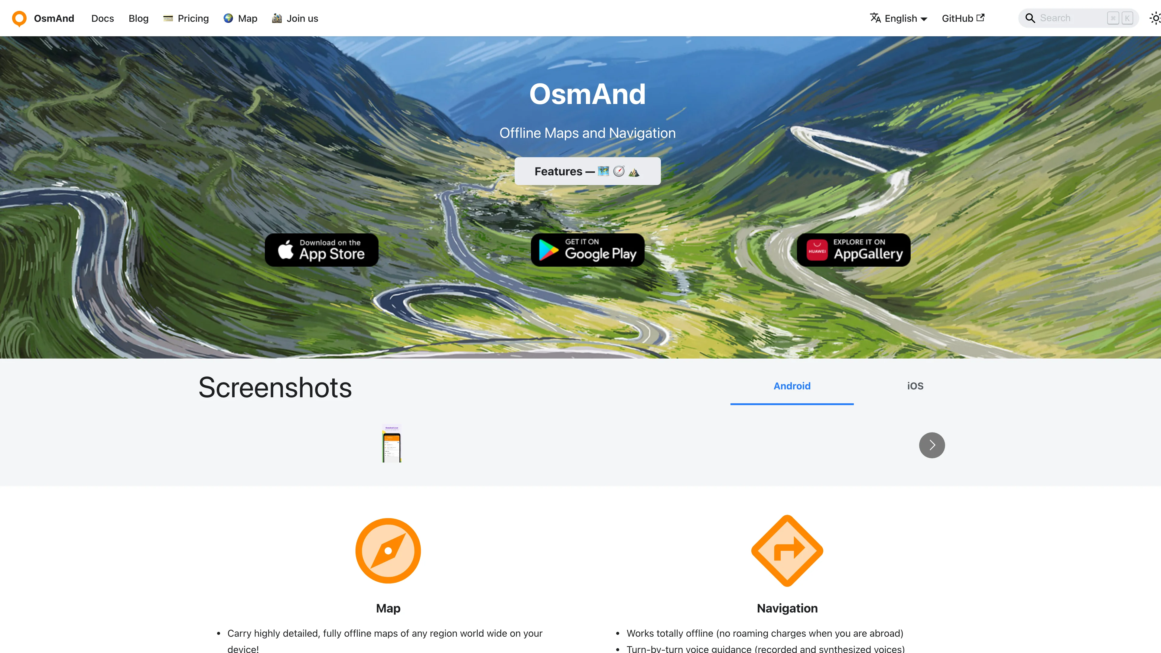
OsmAnd is a Dutch open source maps and navigation app built on OpenStreetMap, designed to work fully offline once maps are downloaded. It is the power-user's choice: dense with features for hikers, cyclists, drivers, and sailors, with map rendering and routing you control down to fine detail rather than a locked-down consumer app.
Because everything runs from offline vector maps, navigation keeps working with no signal and no data leaving the device, which is why the privacy and outdoors communities favor it. Turn-by-turn guidance covers car, bike, and foot, and plugins add contour lines, ski maps, nautical charts, GPX track recording, and trip planning.
Key features:
- Offline OpenStreetMap navigation with no connection required
- Multi-profile routing for car, bicycle, walking, and more
- Track recording and GPX import and export for the outdoors
- Contour lines and terrain via optional map plugins
- Frequent offline map updates included on the free tier
- Open source under GPL, auditable and free to use
- No tracking, with map data staying on your device
OsmAnd is developed by OsmAnd B.V. in the Netherlands, with a free version covering everyday use and OsmAnd Pro unlocking cloud backup and unlimited map downloads. The open source foundation means your navigation never depends on a US cloud.
Ideal for hikers, cyclists, and privacy-minded drivers replacing Waze or Google Maps with an offline, open source tool.
-
Privacy-first navigation with turn-by-turn voice guidance, live traffic, offline OpenStreetMap data, and community hazard reports, collecting no personal data.
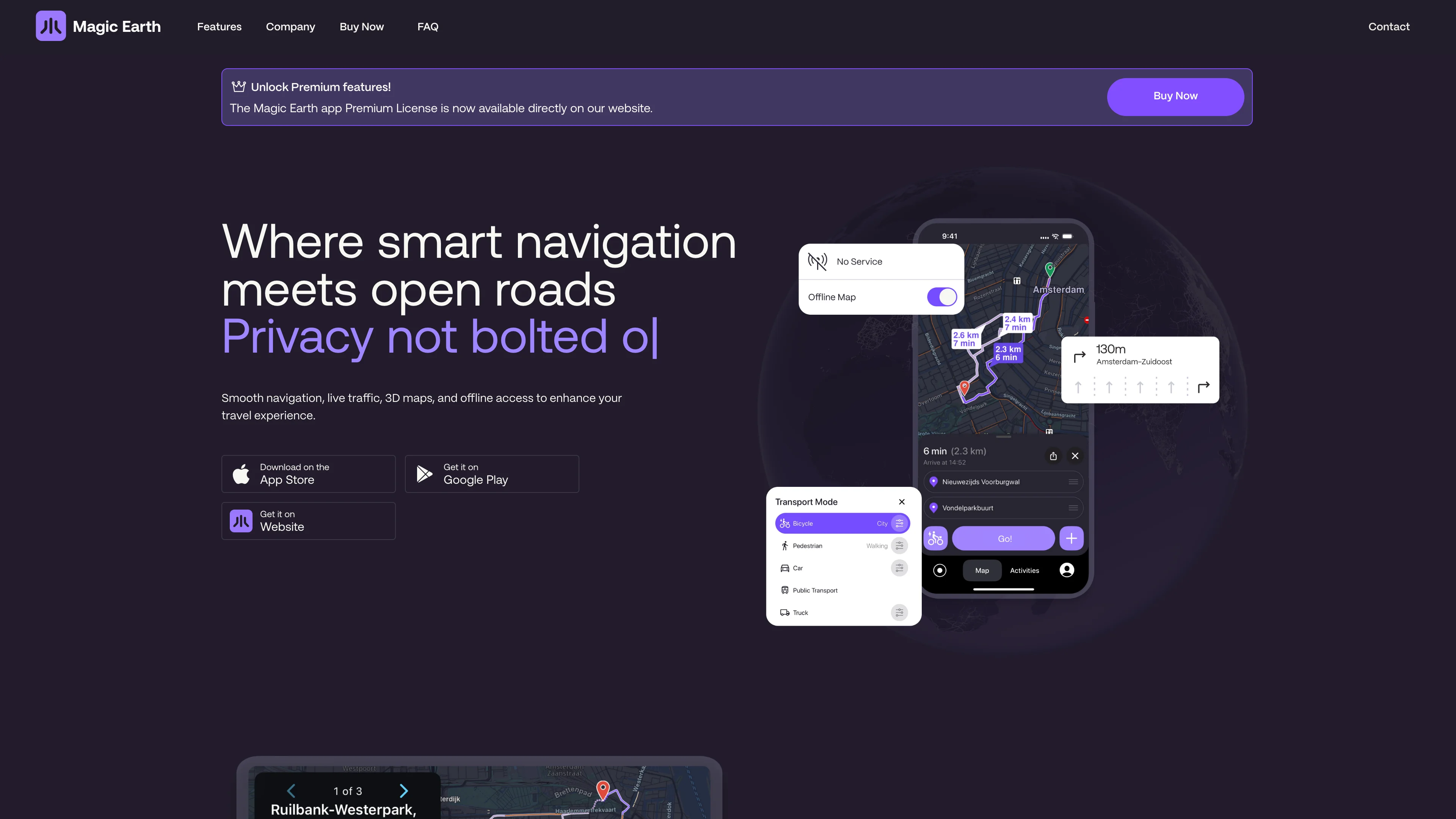
Magic Earth is a Dutch navigation app that turns the Waze value proposition inside out: full turn-by-turn guidance with live traffic, but with a privacy promise the US apps cannot make. The company states it plainly: it does not collect your personal data, does not track your movements, and has nothing to sell because it never holds your information in the first place.
Maps are built on OpenStreetMap, so coverage is community-maintained and works offline once downloaded. Routing handles car, bike, pedestrian, truck, and transit, with 3D maps, community hazard reports, destination weather, and Apple Watch support. Apple CarPlay and Android Auto integration make it a genuine daily driver.
Key features:
- Turn-by-turn voice navigation with live and crowd-sourced traffic
- No data collection, no tracking, and no profiling by design
- Offline OpenStreetMap data for navigation without a signal
- Multi-modal routing for car, bike, pedestrian, truck, and transit
- Community hazard reports flagging incidents and speed traps
- Apple CarPlay and Android Auto support on the go
- Free to download on iOS and Android
Magic Earth is developed by Magic Lane International B.V. in Amsterdam, Netherlands, with a heritage in mapping software stretching back three decades. A Premium subscription adds offline maps, activity recording, and CarPlay, but the core navigation and privacy stance are free.
Ideal for drivers leaving Waze or Google Maps who want real navigation without their trips becoming someone else's data.
-
Fast detailed offline maps with GPS navigation for travelers, hikers, and cyclists. No ads, no tracking, completely free with 100% offline functionality.
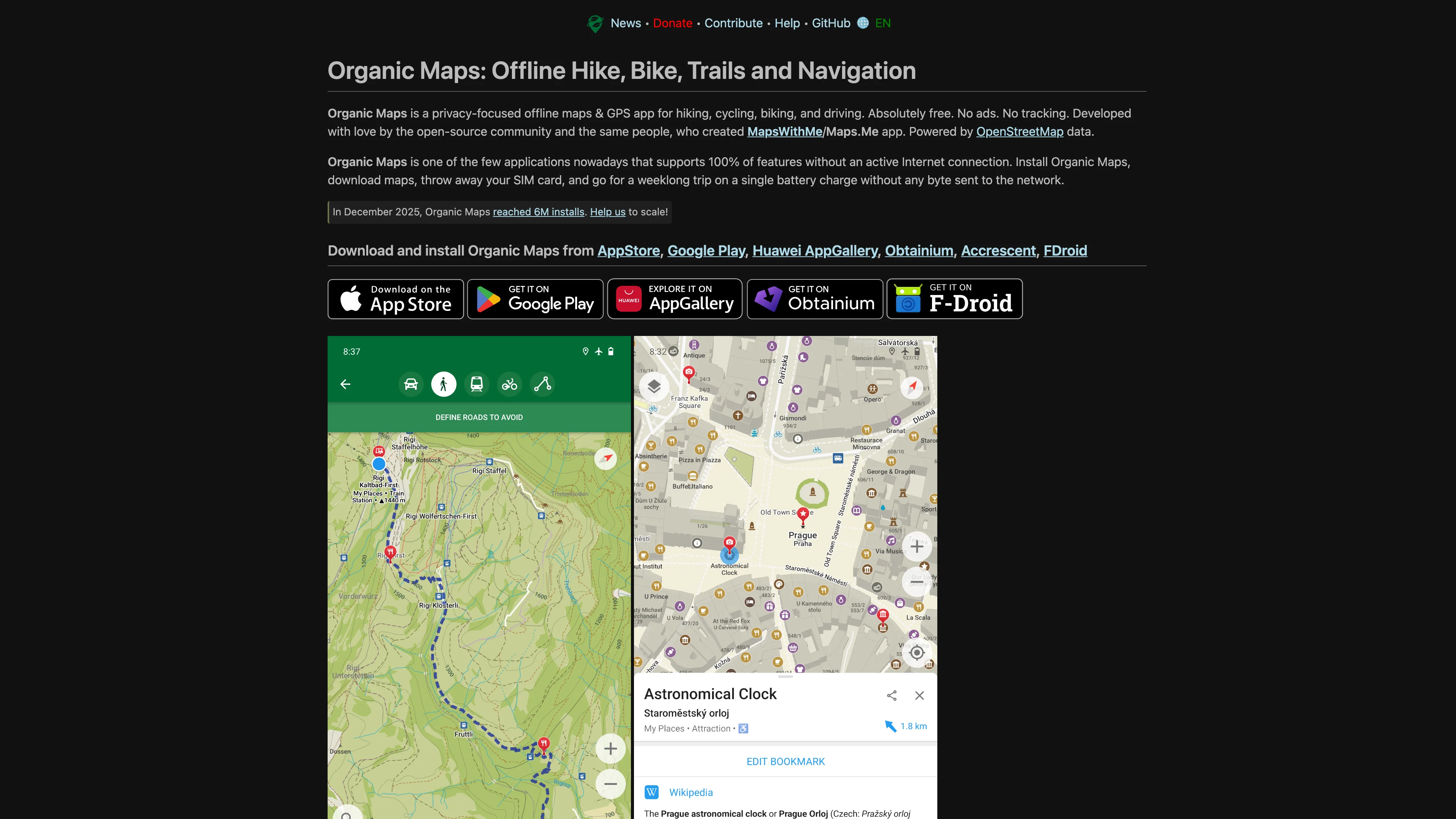
Organic Maps is an Estonian open source maps app with a single-minded focus: fast, private, offline navigation with no accounts, no ads, and no tracking. It is a community-driven fork built on OpenStreetMap, deliberately lightweight, so it runs smoothly on old phones and drains almost no battery.
The whole app works from offline vector maps, so hiking trails, cycling routes, and driving directions are available with the phone in airplane mode. There is no telemetry: the project states it collects nothing, and the Apache-licensed code is fully auditable. Bookmarks, track recording, and turn-by-turn voice guidance cover the essentials without bloat.
Key features:
- Fully offline maps, search, and navigation with no signal needed
- No tracking and no ads, with nothing sent off the device
- Lightweight and battery-friendly, fast even on older phones
- Hiking and cycling trails with contour lines and elevation
- Turn-by-turn guidance for driving, walking, and biking
- Open source under Apache 2.0, community governed
- Free with an optional donation to sustain the project
Organic Maps is developed by a foundation based in Tallinn, Estonia, by contributors who left a larger mapping app to build something privacy-first. It is the minimalist European answer to Google Maps for the outdoors.
Ideal for hikers, travelers, and privacy advocates who want a clean, offline, open source map without a US account behind it.
-
Navigate effortlessly with offline maps, turn-by-turn directions, and real-time traffic. Find optimal routes for car, public transport, cycling, or walking.
HERE WeGo is the consumer maps and navigation app from HERE Technologies, the Dutch mapping company whose data powers a large share of the world's car navigation systems. It brings that automotive-grade map quality to a free phone app, with strong offline maps and multi-modal routing across Europe and beyond.
Download a city or country and navigation, search, and public-transit directions all work without a connection, useful for travelers avoiding roaming. Routing spans driving, walking, cycling, public transport, and taxi, with live traffic where available, from a company whose core business is selling location data to carmakers rather than profiling consumers.
Key features:
- Automotive-grade maps from a leading European mapping provider
- Offline maps for driving, walking, transit, and search
- Multi-modal routing including public transport and taxi options
- Live traffic on supported routes for smarter driving
- Turn-by-turn navigation with clear voice guidance
- Free to download and use on iOS and Android
HERE WeGo is operated by HERE Global B.V., headquartered in Eindhoven, Netherlands, with the wider HERE Technologies owned largely by a consortium of European automakers. Its data-licensing business model keeps the consumer app free without turning users into the product.
Ideal for travelers and drivers who want offline European maps and transit routing from a Dutch company instead of Google Maps.
-
Explore detailed world maps, find hiking and cycling trails, and plan routes for any journey. Offers comprehensive mapping for cities and towns globally.
Mapy.com makes outdoor route planning feel closer to reading a walking map than navigating a list of businesses. Its hiking and cycling cartography is the main attraction, with paths and terrain presented for people heading beyond city streets. The service also offers offline maps, useful when a planned trip takes a phone out of coverage.
The map portal dates to 1998, with its mobile application following in 2011. A logged-in account connects saved information and subscription features. Premium planning tools add activity-specific routes and personal walking or riding speeds, so estimated journey times can reflect the person making the trip. Offline downloads need advance preparation and enough storage on the device.
Key benefits:
- Outdoor cartography makes hiking and cycling routes easier to inspect before departure.
- Free offline country supplies downloadable maps for one chosen country, including regions.
- Premium offline maps remove the country limit for downloading maps before travel.
- Personal pace settings adapt Premium time estimates to individual walking or cycling speeds.
- Activity-specific planning adds Premium routes for running, gravel bikes and other activities.
- Saved route notes help Premium users record details and mark completed trips.
Mapy.com is operated by Seznam.cz, a.s., registered in Prague, Czech Republic. That places the operator in the EU, but the account and mapping service still process personal information. Its Czech origin should not be read as a promise of anonymous location use or an entirely open source application.
The free version allows one offline country at a time, which can be changed for a holiday. An annual Premium subscription expands that allowance and adds planning features. Frequent travellers get the most from the paid tier; occasional walkers can start with the free maps.


